 CampFinder
Blog
CampFinder
Blog
UNION CREEK CAMPGROUND - ROGUE RIVER
UNION CREEK CAMPGROUND - ROGUE RIVER cancellation alerts
UNION CREEK CAMPGROUND - ROGUE RIVER is usually sold out. Get a free email when a cancellation opens: pick your dates and we check Recreation.gov every 30 minutes.
★ 4.5 (275 ratings) · 76 sites · $22–$35/night · RV
Watch UNION CREEK CAMPGROUND - ROGUE RIVER for free Book on Recreation.gov · Google Maps
About
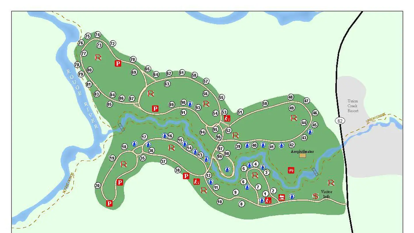
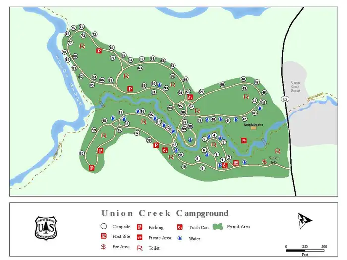
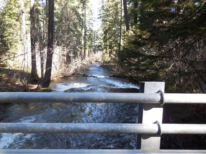
There are 73 campsites, each site is unique and not recommended for trailers over 28 feet long . The campground road to sites 64 -87 may be hard for some vehicles to access due to large trees along roadway and tight curves. Union Creek Campground was constructed in 1934 by the Civilian Conservation Corp. The campground is located 18 miles west of Crater Lake National Park and in the midst of an old growth forest. There are 3 full hook up sites located near the day use parking lot that can accomodate most trailers and off highway vehicles are allowed. Union Creek Resort is within walking distance of most sites and provides access to a convenience store, restaurant, ice cream shop and lodging. The Rogue River and Union Creek ( a 15 mile long tributary) are located within the campground and present opportunities for fishing and swimming. Please note: This is the Union Creek Campground located in southwestern Oregon in the Rogue River-Siskiyou National Forest near Medford. This is not the Union Creek Campground located in eastern Oregon near Baker City. For facility specific information, please call (541) 560-3400.Each site has a picnic table and fire ring. Drinking water and vault toilets are located throughout the campground. There is no cell phone service. Firewood is available for purchase at the Campground Host Site.The Upper Rogue River is fed by snowmelt and springs originating on the peaks of the Cascade Range, including the slopes of Mt. Mazama—the volcanic caldera that contains Crater Lake. Along the uppermost portion of the Upper Rogue, the river is narrow and shallow, but very swift. The river has, for a two-mile stretch, carved more than 200 feet down into the Mazama pumice (which was deposited about 8,000 years ago during the explosion that created Crater Lake). Downstream, the Upper Rogue passes through the narrow, turbulent Rogue Gorge of black lava and soon plunges entirely underground (into a lava tube) for about 250 feet at Natural Bridge. Interpretive trails at both of these places provide good views of the river, with signs that explain the natural history.
Diamond Lake Resort, Crater Lake National Park, Lost Creek Lake, Rogue-Umpqua Scenic Byway, National Falls, Rogue Gorge, Natural Bridge and Mount McLoughlin are all wonderful sights to see. The entire length of the Upper Rogue River is closely followed by the Upper Rogue River Trail. The trail is hiker-only and easily traveled for short segments at a time. Hikers can also enjoy the Rogue Gorge Trail System that travels from Rogue Gorge Day Use through Union Creek Campground and down to Natural Bridge Day Use Area.
Availability at UNION CREEK CAMPGROUND - ROGUE RIVER
CampFinder checks Recreation.gov every 30 minutes, around the clock, and emails you when a booked-up night opens back up. That catches most cancellations, which sit open for hours; at the few campgrounds that refill in seconds it can miss the race. Set up a free availability alert for UNION CREEK CAMPGROUND - ROGUE RIVER.