 CampFinder
Blog
CampFinder
Blog
Zapata Falls Campground
Zapata Falls Campground cancellation alerts
Zapata Falls Campground is usually sold out. Get a free email when a cancellation opens: pick your dates and we check Recreation.gov every 30 minutes.
★ 4.5 (509 ratings) · 40 sites · $11–$20/night
Watch Zapata Falls Campground for free Book on Recreation.gov · Google Maps
About
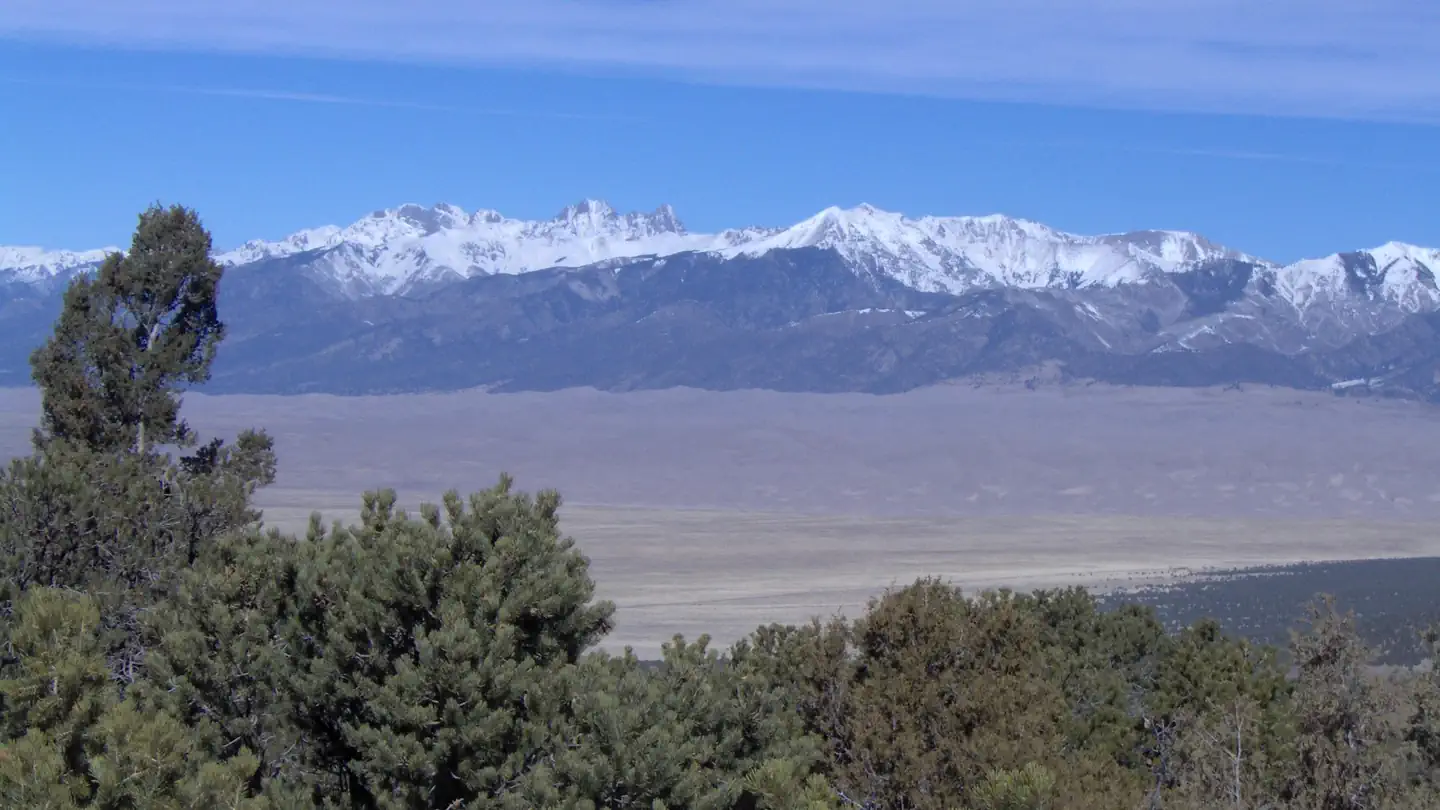
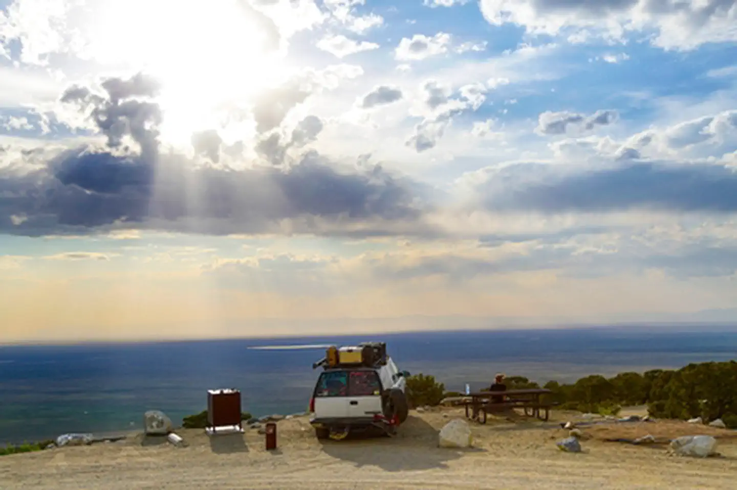
A short drive up the gravel road that leads to the Bureau of Land Management’s Zapata Falls Campground (CG) will let visitors to the area see the San Luis Valley and Great Sand Dunes National Park & Preserve from a whole new perspective. The campground offers bird’s-eye views of the valley floor below, the San Juan Mountains to the west, the adjacent Great Sand Dunes National Park and Preserve, and several 14er’s and many other towering peaks of the Sangre de Cristo Mountain range that Zapata Falls CG sits on — not to mention spectacular sunrises, sunsets and night skies!
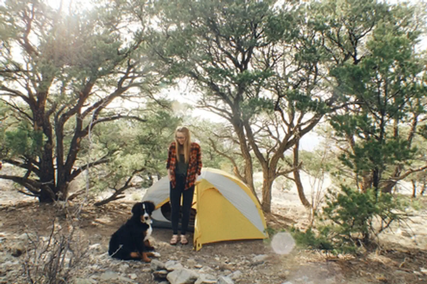
Zapata Falls CG has 23 single campsites, 1 group site and 1 camp host site nestled among piñon pines along two one-mile long loops. The sites on one loop are designed for tent campers. Parking spurs on the second loop vary a little in length but in general can handle RVs, towed campers, or other configurations of vehicles up to about 50 feet long.
A new trailhead in the campground supplies a link to the South Zapata Creek Trail and the Sangre de Cristo Wilderness. A second trail, next door to the campground in the day-use area, leads visitors on a mildly steep half-mile hike to Zapata Falls, which gives the campground its name.
Zapata Falls Special Recreation Management Area The Zapata Falls Special Recreation Management Area (SRMA) is rich in history and geology and offers opportunities to hike, camp, mountain bike and view spectacular scenery. Zapata Falls and the 628 acres surrounding them are State Trust Lands owned by the Colorado State Land Board and are also a designated Colorado Natural Area. They are cooperatively managed with the Bureau of Land Management.
History The name “Zapata” is the Spanish word for shoe and is tied to the history of settlement in the San Luis Valley. In 1864, Mexican families established the community of Zapata at the western base of the Sangre de Cristo Mountains and raised sheep and other livestock. In the 1870s, cattleman consolidated land holdings and established one of the San Luis Valley’s first and largest cattle ranches know as Zapata Ranch, which remains an active ranch today.
Geology Zapata Falls SRMA perches on the edge of an active rift valley. The San Luis Valley was formed when geologic activity along the Rio Grande Rift, a giant crack in the earth’s top layers, caused the rugged Sangre de Cristo Mountains to rise and the flat plain of the San Luis Valley to sink. Bedrock lies 5,000 to 13,000 feet below the valley floor, beneath layers of gravel, soil, and water. Approximately two million years ago, alpine glaciers inched down the steep slopes of the Sangre de Cristo Mountains. Water flowing from the glacier and snowfields in the valley above found a weak spot near the end of a moraine – a huge rock pile deposited thousands of years ago by a glacier. For thousands of years, water has carved its path, forming Zapata Falls.
Amenities
- Toilets (vault & pit)
- Pets allowed
Availability at Zapata Falls Campground
CampFinder checks Recreation.gov every 30 minutes, around the clock, and emails you when a booked-up night opens back up. That catches most cancellations, which sit open for hours; at the few campgrounds that refill in seconds it can miss the race. Set up a free availability alert for Zapata Falls Campground.